Aerial view of the Barnett highway in Coquitlam - Record Detail
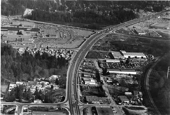
Aerial view of the Barnett highway in Coquitlam. - 1981.
| Part Of: | Columbian Company fonds [Description]
|
| Description Level |
Item |
| Series No. |
B |
| File No. |
5 |
| Item No. |
IHP10001-0046 |
| Date Range |
1981 |
| Responsibility |
Hodge, Craig (Columbian Photo) |
| Physical Description |
1 photograph : b&w ; 18 x 25 cm |
| Scope & Content |
Photograph shows the Barnett highway, with Coquitlam Centre on the left. The Lougheed Highway crosses Barnett at the top of the photograph. |
| Subject Access |
Aerial Photographs | City Views |
| Geographic Location |
Coquitlam (B.C.) |
| Record ID |
66722 |
| Comment on this record |
museum@newwestcity.ca |