Aerial view of Stewardson Way - Record Detail
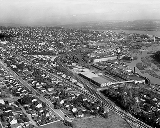
Aerial view of Stewardson Way. - [ca.1963].
| Part Of: | NWPL heritage collection - Photos [Description]
|
| Description Level |
Item |
| Item No. |
681 |
| Date Range |
[ca.1963] |
| Responsibility |
Don LeBlanc |
| Physical Description |
1 photograph |
| Scope & Content |
Photograph shows an aerial view of Stewardson Way (named after 2 City Engineers, Harry & Alan) which was built to link the new Queensborough Bridge to the downtown area in the early sixties. Looking east from Sixth Avenue junction. |
| Subject Access |
Aerial Photographs | City Views |
| Geographic Location |
New Westminster (B.C.) |
| Record ID |
96486 |
| Comment on this record |
museum@newwestcity.ca |